What States Does The Colorado River Run Through?
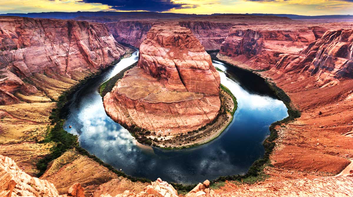
Rivers and streams provided people with the means to build their first settlements to start the first seed of civilization. Today, these rivers still represent a source of drinking and irrigation water, the means to power plants and support transportation, and an excellent spot for recreational and fun activities.
With more than 250,000 rivers in the USA, the Colorado River stands out as one of the most famous ones. In this article, we’ll focus on the origin of the Colorado River and shed light on the states it runs through. We’ll also share some interesting facts about this river.
Contents
Advertising Disclosure: What States is a for profit reference website, supported by advertisements. Thank you for supporting our mission to make geography fun for all!
What States Does the Colorado River Run Through?
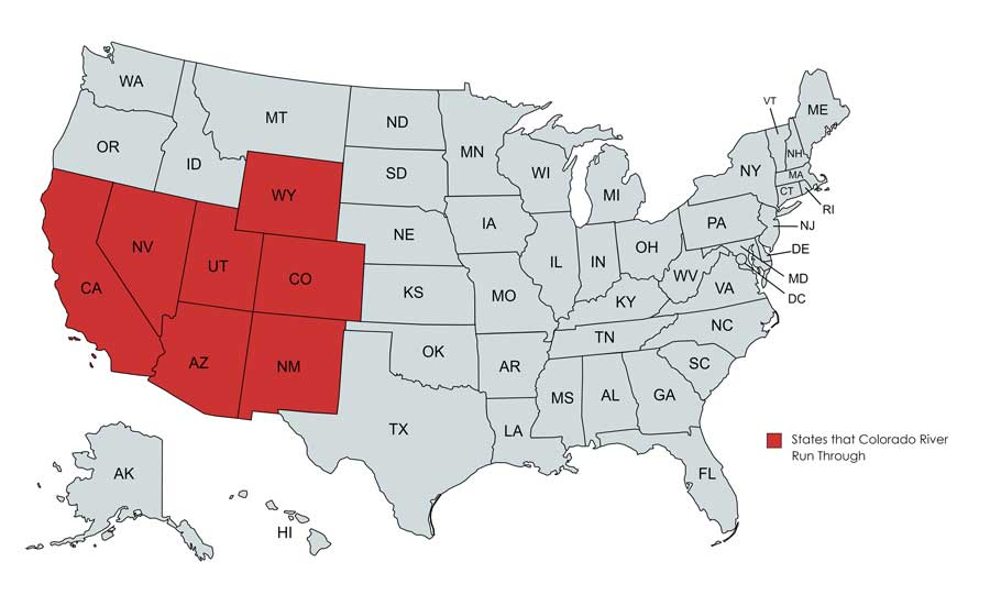
The Colorado River runs through seven states. These are Arizona, California, Colorado, Nevada, New Mexico, Utah, and Wyoming. The Colorado River also runs through two Mexican states, and for 17 miles, it forms the boundary between the state of Arizona and Mexico.
Now that you know that these other rivers run through?:
- What states does the Mississippi River run through?
- What states does the Missouri River run through?
- What states does the Ohio River run through?
How Long is the Colorado River?
The Colorado River is one of the longest rivers in the US, reaching about 1450 miles. The Colorado River supports the life of about 40 million people in the USA.
What is the Course of the Colorado River?
The Colorado River originates at the La Poudre Pass in the Southern Rocky Mountains of Colorado. It’s origin in Colorado gives it its name, and also makes it one of things Colorado is known for.
It travels a little to the south, then bends to the west. The river travels through the mountainous Western Slope and then flows southwest, where the water gains strength.
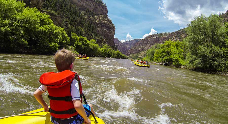
After that, the Colorado River emerges into the Grand Valley, which is more highly populated than the areas that the river passes through during its first 250 miles. In most of this area, the river is characterized by having fast whitewater, where the water usually reaches a depth of 30 feet. The river is also characterized by having braided channels, where there are lots of temporary sediment islands that occur in the river.
It then travels to the Northwest towards the Colorado Plateau, where the climate is drier and more rocks are found in the river. It then moves into Utah, where the water is characterized by the tilting sedimentary rock layers, which make this part one of the most inaccessible spots.
The Colorado River then enters Cataract Canyon, which is known for its dangerous rapids. After that, the San Juan River joins the Colorado River from the east, and it enters northern Arizona. Here it passes Lee’s Ferry, where it was the principal point for measuring the water apportionment for the seven US and the two Mexican states that make up the Colorado River basin.
At the low end of the Grand Canyon, the Colorado River enters into Lake Mead, where the Hoover Dam acts as the border between Nevada and Arizona. It then leaves to the Lower Colorado River Valley, where the river widens to a moderately deep waterway.
👉 Read Next: What is Arizona Known For?
How is the Colorado River Divided?
The river basin is divided into the Upper Basin and Lower Basin. The division point is Lee’s Ferry, which is located downstream of the Glen Canyon Dam and about 30 miles south of the Arizona-Utah border.
The Upper Basin of the Colorado River refers to the states from which waters drain into the river’s system above Lee’s Ferry. These include parts of Colorado, Arizona, New Mexico, Wyoming, and Utah. All these states benefit from the water diverted from the river’s system, although not all parts of these states are included in the river’s drainage system.
Other parts of Arizona, Utah, New Mexico, in addition to California and Nevada, represent the Low Basin of the Colorado River. Not all parts of these states are part of the river’s system, but they also benefit from water diverted from the river.
How is Colorado River Water Apportioned?
The Colorado River Compact was signed in 1922 to allocate water rights among the seven states that share the river basin. It combines a set of regulations which are referred to collectively as the Law of the River.
According to this agreement, each basin was assigned a total of 7.5 million acre-feet of water per year but didn’t allocate water division among states. Instead, each basin would divide the water among the states according to further agreements.
According to further agreements, Colorado receives almost half of the water allocated to the Upper Basin, while California gets more than 58% of the water allocated to the Lower Basin. Arizona receives water from both divisions, where most of its water comes from the Lower Basin apportion.
Fun Facts About the Colorado River
- The Colorado River drains 242,000 square miles in the United States, representing about one-twelfth of the country’s continental land area.
- In 1944, the USA signed a treaty with Mexico that grants Mexican states about 1,500,000 acre-feet of Colorado River water annually.
- The Colorado River has a nickname of the River of the Law, after all the legal disputes that took place to govern the appropriation of water.
- There are 11 US National Parks along the Colorado River.
FAQs About the Colorado River
How Did the Colorado River Get its Name?
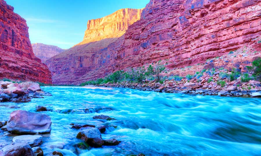
The name of the Colorado River is related to the Spanish word of the color red. The Spanish explorers named the river after the red, muddy water that flows through the canyons of Arizona and Utah.
Can You Go Fishing in the Colorado River?
Yes, the Colorado River is home to several game fish species like small and largemouth bass, striped bass, and rainbow trout.
❓ Trivia Time: What States Do The Smoky Mountains Run Through?

