What State Borders the Most States? (Quick Answer)
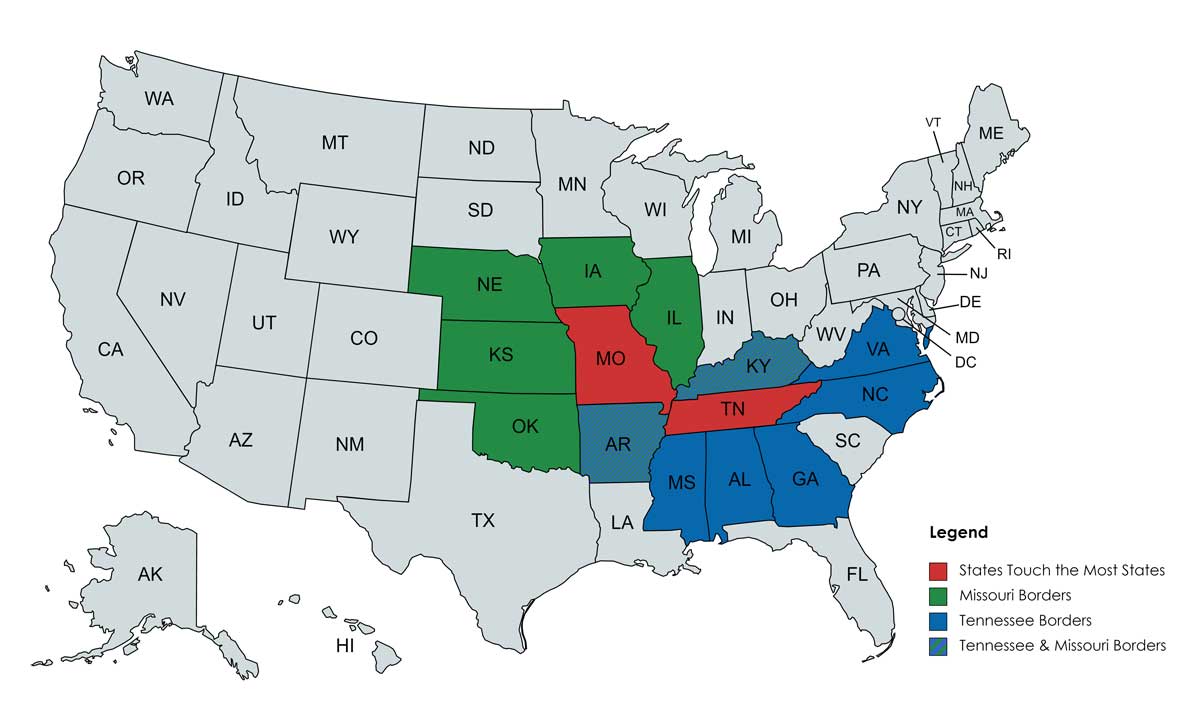
Wondering which state borders the most other states?
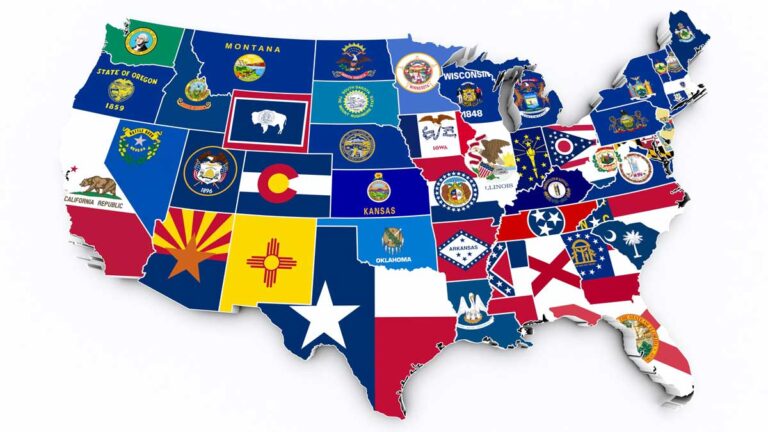
The two states that border the most other states are Missouri and Tennessee. They each share boundaries with eight other states.
Missouri’s bordering states are Arkansas, Illinois, Iowa, Kansas, Kentucky, Nebraska, Oklahoma, and Tennessee.
Tennessee’s neighbor states are Alabama, Arkansas, Georgia, Kentucky, Mississippi, Missouri, North Carolina, and Virginia.
Did you know that the Mississippi River, which was often used to draw state lines, has moved around significantly over the last few centuries?
Read on to learn more about the strange problems the shifting river has caused, like the remains of a shipwreck in a farmer’s field!
Contents
Advertising Disclosure: What States is a for profit reference website, supported by advertisements. Thank you for supporting our mission to make geography fun for all!
What States Touch the Most States?
The first state with borders touching the most states (eight) is Missouri. Missouri borders:
- Arkansas
- Illinois
- Iowa
- Kansas
- Kentucky
- Nebraska
- Oklahoma
- Tennessee
Since Missouri is not the only state touching eight states, Tennessee borders:
- Alabama
- Arkansas
- Georgia
- Kentucky
- Mississippi
- Missouri
- North Carolina
- Virginia
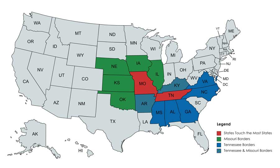
How were the sizes and shapes of states determined?
Read on to learn more about the state boundaries of Tennessee and Missouri.
History of Missouri & Tennessee’s Borders
Missouri’s Borders
In 1803, Missouri became part of the Union as part of the Louisiana Purchase. On the East, the Mississippi River is Missouri’s state line. The western border is marked by Fort Osage on the Missouri River, which was determined through negotiations with Native Americans.
The southern boundary, which includes Missouri’s “Bootheel,” was fought for by businessman John Hardeman Walker in the 19th Century.
After a series of earthquakes (the New Madrid Earthquakes) plagued the area, much of the population relocated.
In contrast, Walker stayed and continued to acquire land. Nicknamed the “Czar of the Valley,” Walker aggressively petitioned Congress to move the Missouri border to the modern-day shape, which includes the bootheel. This increased Missouri’s area by 980 square miles.
Tennessee’s Border

Tennessee’s Northern border was determined by the British Crown. They set the border between Virginia and North Carolina at 36 degrees, 30 minutes North. When Tennessee separated from North Carolina to become a state, this boundary was extended West.
Congress determined that the Southern border should be placed at 35 degrees North, and they asked a professor from Georgia and a mathematician from Tennessee to help determine the location of the 35th parallel.
The two men used celestial navigation to determine the location. However, the charts they used proved inaccurate, and they were off on the location of the parallel by about a mile.
The Western border of Tennessee was the Mississippi River. The shifting location of the river confused the issue of Tennessee’s boundary. To solve the problem, the Supreme Court determined that Tennessee borders should not be shifted along with river movements and instead should stay the same over time.
Tennessee’s boundary with Arkansas is located where the Mississippi was in 1836. Its boundary with Missouri is where the river was located in 1821.
❓ Trivia Time: Did you know that Tennessee is called the Volunteer State?
Strange but True Facts About Missouri & Tennessee’s Borders
The Shifting River
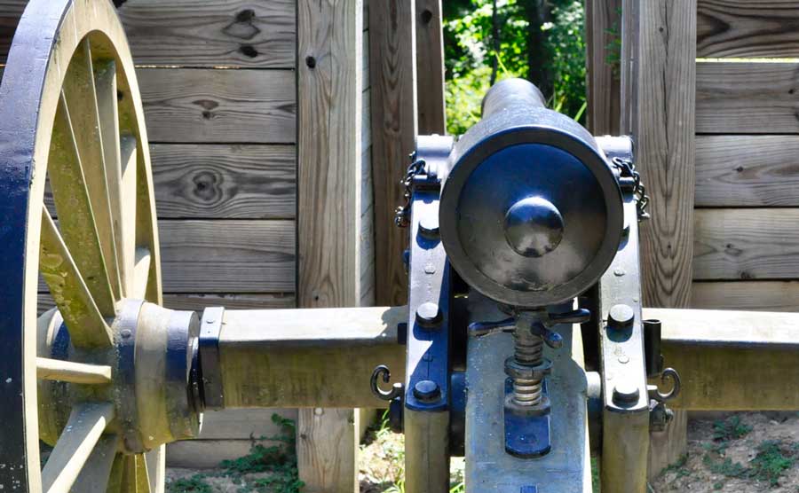
Tennessee’s Fort Pillow was built on the Mississippi. However, due to the river’s movement over time, it is now completely landlocked! It is now a park in this often visited state.
Similarly, the story of the Sultana steamboat disaster highlight’s the river’s change over time. In 1861, the steamboat Sultana exploded North of Memphis, Tennessee. The accident killed 1,800 people and is the deadliest maritime disaster in American history.
No one knows exactly what happened to the remains of the Sultana. Boat pieces–that are likely the Sultana–were discovered in 1982. But because of the river’s movement, the shipwreck is no longer in the river itself. It is now located under a farmer’s field in Arkansas!
❓ Trivia Time: Which States Border the Pacific Ocean? (We bet you can’t guess them all!)
Kentucky Bend
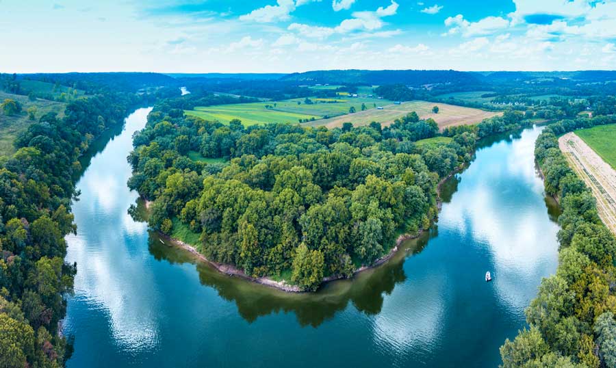
Kentucky Bend is a loop in the Mississippi River, and is one of the things Kentucky is know for.
The land inside the loop belongs to the state of Kentucky, but the land on the outside banks of the loop belongs to Tennessee and Missouri. Kentucky Bend is completely encircled by two other states, like an island is surrounded by the ocean. There is a population of 9 people who live in Kentucky Bend!
Why don’t the state lines follow the river? The river’s path changed during the New Madrid Earthquakes in 1811-1812. People even witnessed the Mississippi River flow backward!
🗽 Read Next: 105 Things America is Known For
FAQs About Which State Border the Most
How many states do Missouri and Tennessee each border?
Missouri and Tennessee each share borders with eight states.
Are there any states in the United States with no land borders?
Hawaii and Alaska are the only states that do not border any other states.
What states have water borders?
There is a water border between Rhode Island and New York (Long Island). Michigan also has a water boundary that the state shares with Minnesota and Illinois.
❓ Trivia Time: What are the Southwest US States?
**
In conclusion, what states border the most other states? Tennessee and Missouri tie with the most neighborly states. They each share borders with eight states.
Missouri’s bordering states are Arkansas, Illinois, Iowa, Kansas, Kentucky, Nebraska, Oklahoma, and Tennessee.
Tennessee’s border states are Alabama, Arkansas, Georgia, Kentucky, Mississippi, Missouri, North Carolina, and Virginia.
There are lots of interesting stories that explain why these two states are shaped the way they are and are not straight lines.


